- Inicio
- / GEOLOGÍA/CIENCIAS DE LA TIERRA
- > GEODESIA/FOTOGRAFÍA AÉREA
(54 resultados)
Ordenar por
ordenar por...
117,54€(IVA inc.)
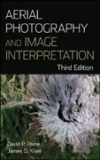
Aerial photography and image interpretation
- Paine, David P.
- 978-0-470-87938-2
- 2012-01-11
0,00€(IVA inc.)
Application of terrestrial laser scanning for risk mapping
- Lerma García, José Luís
- 978-84-8363-199-7
- 2008-01-01
24,90€(IVA inc.)
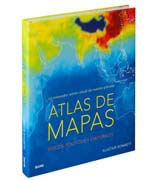
Atlas de mapas: un inovador retrato visual de nuestro planeta
- Bonnett, Alastair
- 9788416965793
- 2018-03-01
91,41€(IVA inc.)
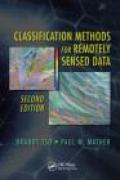
Classification methods for remotely sensed data
- Mather, Paul
- 978-1-4200-9072-7
- 2009-03-01
135,15€(IVA inc.)
Contemporary computational geodynamics in China: data, models and simulation
- Zhang, Huai
- 978-3-642-13401-2
- 2010-05-01
176,75€(IVA inc.)
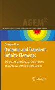
Dynamic and transient infinite elements: theory and geophysical, geotechnical and geoenvironmental applications
- Sin autor
- 978-3-642-00845-0
- 2009-06-01
103,95€(IVA inc.)
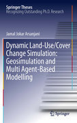
Dynamic land use/cover change modelling: geosimulation and multiagent-based modelling
- Arsanjani, Jamal Jokar
- 978-3-642-23704-1
- 2011-10-31

